Regional Drone Surveying Workshop
This month, our Survey Manager, Bonnie Mayo, led a hands-on drone surveying workshop for the Land Surveyor’s Association of Washington (LSAW) South Puget Sound Chapter at Allenmore Golf Course.
The event brought together surveyors, field technicians, business owners, and industry professionals to learn about advancements in remote sensing technology.
A Day of Live Demonstrations
The Remote Sensing Workshop featured presentations and demos from specialists across the surveying profession. Attendees experienced:
Aerial photogrammetry drones in action
LiDAR-equipped drone systems
SLAM (Simultaneous Localization and Mapping) scanners
Terrestrial laser scanners
Practical workflows used in real-world survey environments
This was a great opportunity for professionals to see multiple technologies demonstrated in one location.


Drone Surveying + FAA Regulations + Mission Planning
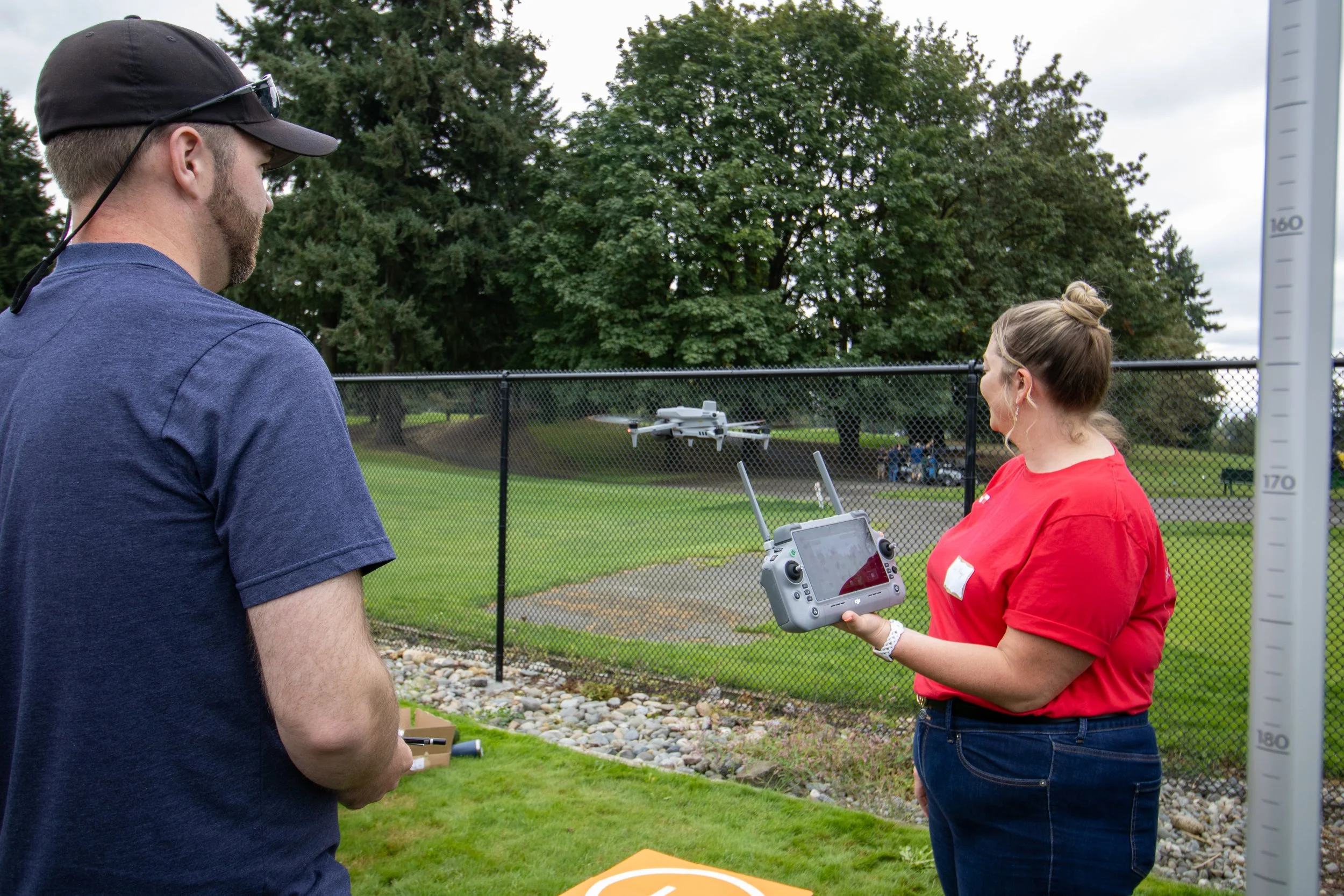
Bonnie represented McInnis Engineering by presenting our DJI Matrice 4E photogrammetry drone, demonstrating how we use aerial imaging to support surveying, design, and mapping.
Her class covered critical topics including:
FAA regulations and licensing considerations
Safe and efficient mission planning
Survey control and ground truthing
Integrating remote sensing data into engineering workflows
Attendees walked away with an actionable understanding of how to manage drone-based data collection responsibly and effectively. To learn more about McInnis Engineering’s drone, visit our in-depth blog post here.
Leadership in the Surveying Community
This workshop also marks an exciting milestone, Bonnie will be stepping into the role of Vice President for the LSAW South Puget Sound Chapter.
Her leadership and commitment to advancing education in the profession reflect our team’s values and our dedication to supporting the next generation of survey professionals.
We’re proud of Bonnie’s continued contributions to the surveying community and grateful for the opportunity to help impact industry standards in drone technology!